Leica Geosystems is a Swiss company specialized in producing and selling equipment and solutions for high-precision geospatial and topographic measurements.
Founded in 1921, Leica Geosystems is renowned for its innovations in the field of measurement technology, including GPS (Global Positioning System) and GNSS (Global Navigation Satellite System), laser scanners, total stations and data processing software.
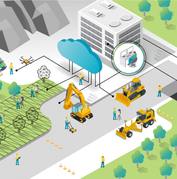
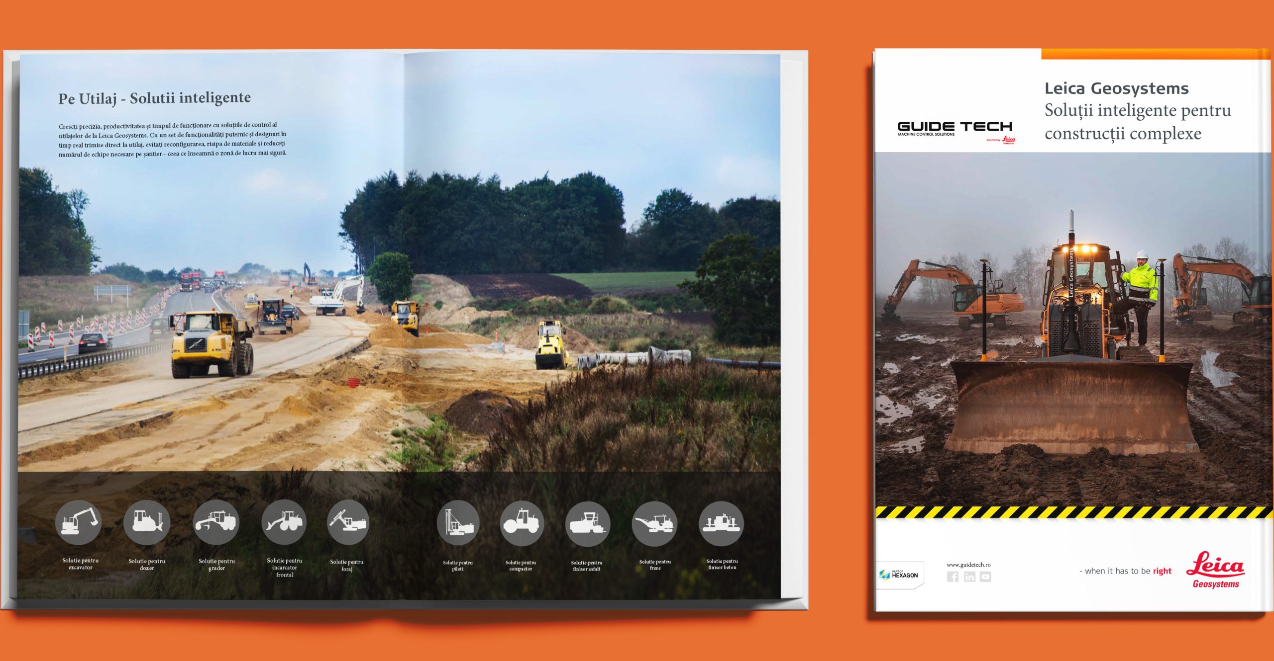
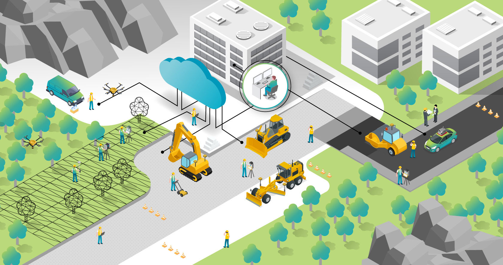
These technologies are meant to monitor and control the movements and functions of heavy machinery during the operations on a construction site. The systems provided by Guide Tech are designed to offer precision, safety and efficiency when operating heavy machinery. Leica machine control systems can be purchased through European funds, leasing, direct payment, auction and other methods.
On what kind of equipment can you install Leica systems?
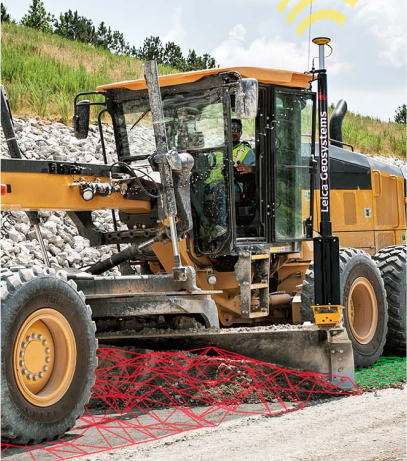
Grader
Our machine control systems for graders enable efficient cutting and leveling. Because they are easy to use, our systems have a user-friendly interface that generates real-time information on cutting and filling.
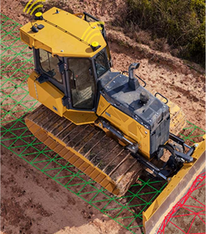
Dozer
Our machine control systems for dozers are versatile, easy to use and customizable. To ensure optimum productivity on a construction site, our machine control systems can be combined with a rotating laser, total stations or GNSS technology.
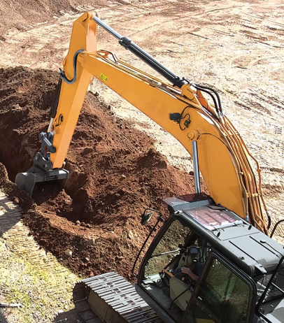
Excavators
With the help of our systems, operators have advanced control over their heavy machinery. Therefore, the machinery’s efficiency is given by the excellent leveling operations which can be made with a robotic total station and GNSS configuration, without the need for a topographer.
Wheel Loader
Machine control for wheel loaders ensure maximum precision and efficiency in loading and grading operations. Continuous monitoring of the machine’s position optimizes time and fuel consumption. These solutions increase productivity and reduce human error on the construction site.
Road Compactor
The 3D system for compactors ensures precise grading and uniform soil compaction, eliminating the need for manual adjustments. It optimizes fuel and material consumption, reducing working time. This leads to increased productivity and efficiency on the construction site, while improving the quality of the work.
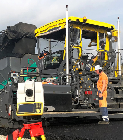
Asphalt Paver
Automation systems for asphalt pavers ensure precise leveling and a uniform asphalt layer. They optimize material usage and working time, significantly reducing human errors. The increased efficiency leads to cost savings and improved work quality.
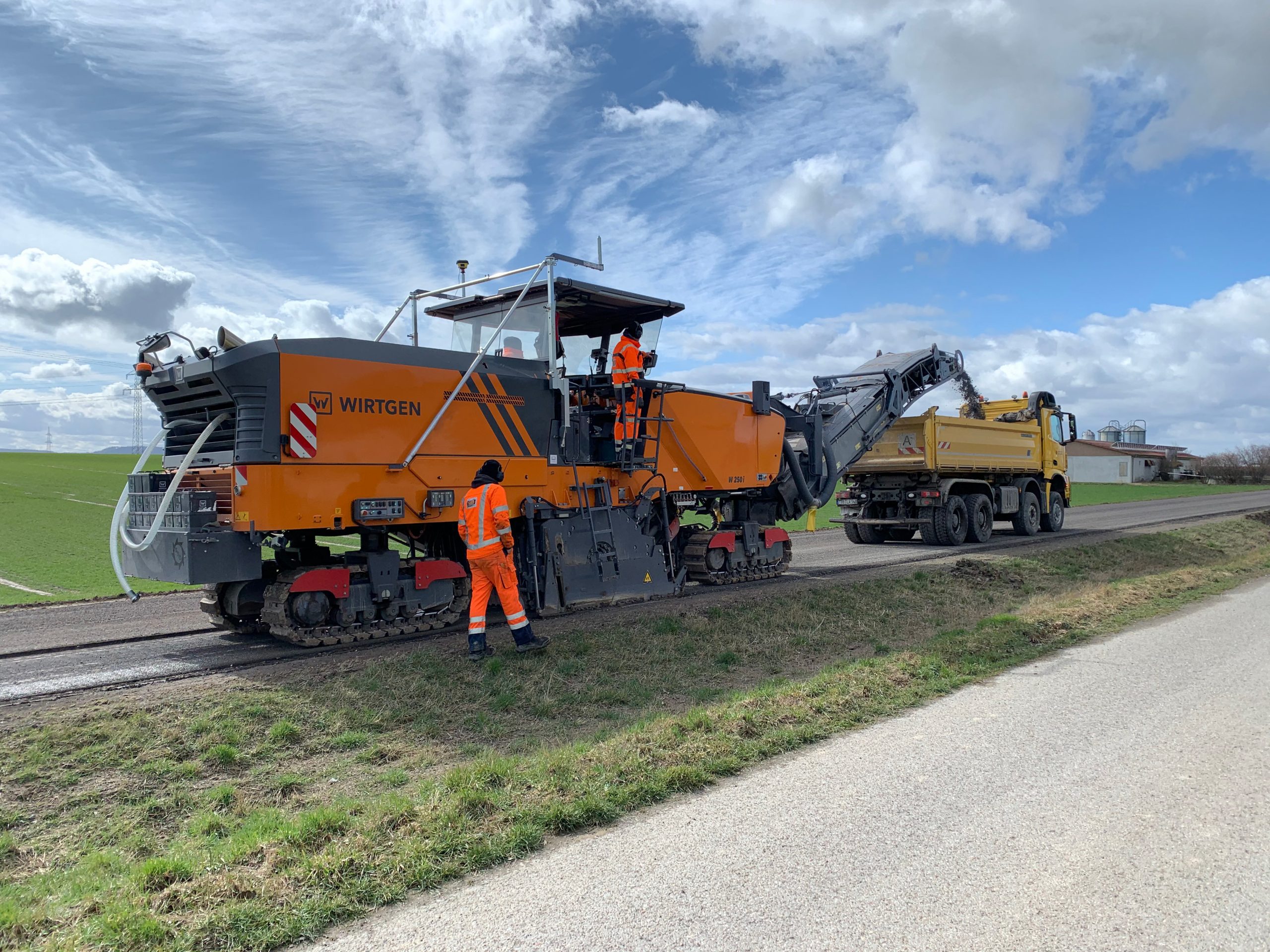
Milling Machine
3D systems for asphalt milling machines provide high precision in cutting depth, ensuring a uniform and controlled milling process. They optimize material usage and working time, leading to lower costs. These systems enhance productivity and efficiency in roadwork, delivering superior quality results.
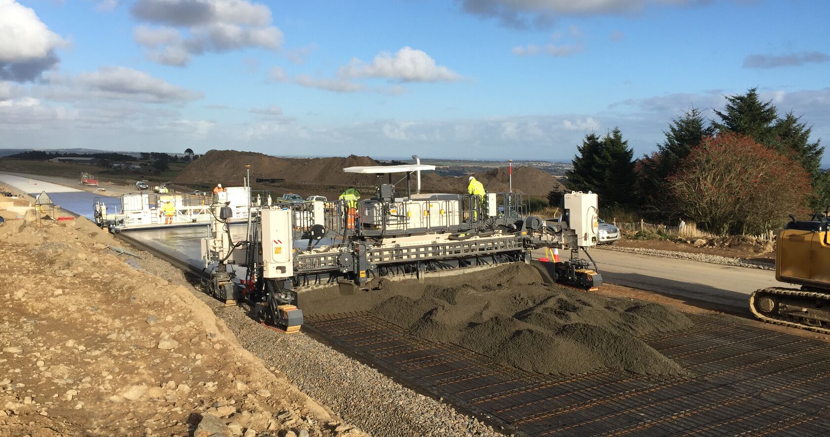
Concrete Paver
3D systems for concrete pavers ensure precise leveling and finishing according to the digital design. They reduce material consumption and working time, improving overall efficiency. This results in a uniform, high-quality finish on every project.
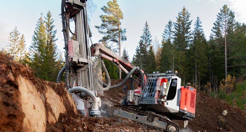
Drilling Machine
A drilling machine in operation is used for deep drilling in mining or construction, ensuring precise execution. It allows for the quick setup of the equipment and automated drilling, enabling efficient preparation for extraction. Highly productive and cost-effective, it helps reduce both operating time and expenses.
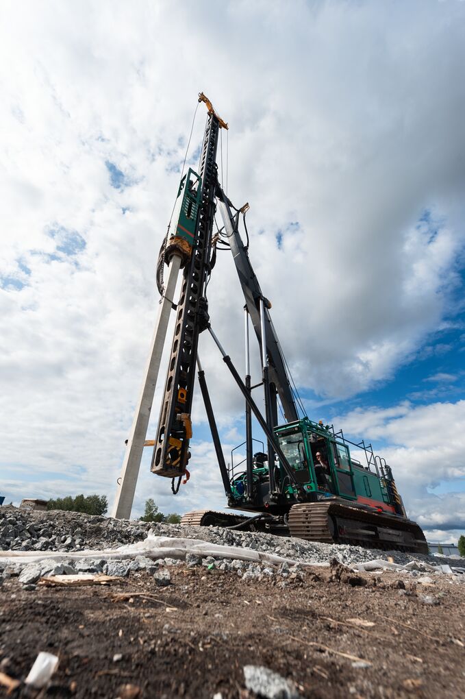
Pilling
It ensures precision and depth control, optimizing working time and reducing costs. Used in large construction projects, it guarantees a stable and secure foundation, ensuring the integrity and safety of the structure.
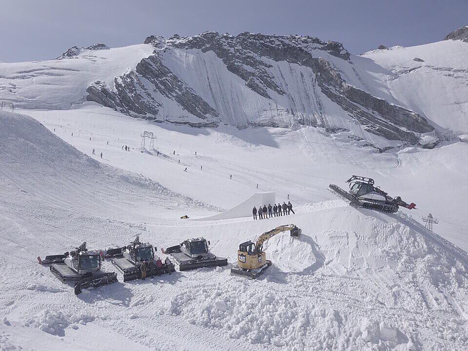
Snow Groomer
A snow groomer ensures even leveling and compaction of the snow surface, enhancing the quality of ski slopes. It increases efficiency and productivity in snow preparation, saving both time and fuel, and delivering a safer, smoother skiing experience.
Why GuideTech?
The products that Guide Tech offers are certified and use Leica Geosystems technology. Through the precision, quality, the services and performances it offers, this technology lies at the top of the industry worldwide, assuring a high degree of customer satisfaction.
The machine guidance and control solutions available through Guide Tech include 2D and 3D control and automated machine control. In addition, Guide Tech provides high-precision construction tools, like rotating lasers, easy-to-use or complex total stations and GPS technology.
All the systems we sell come together with training, installation, start-up and calibration.
3D System – on CAB
Installing a Leica MC1 3D system on the cabin of a Komatsu D61EX dozer provides high-precision control for grading operations. The operator follows the digital design plan directly, without relying on stakes or manual input.
The system displays real-time height, slope, and machine position, significantly reducing errors and optimizing every pass. It saves fuel, time, and materials, regardless of the operator’s experience.
The result: increased productivity, accurate work, and millimeter-level execution, increased visibility for the operator.
Simplified with iCON
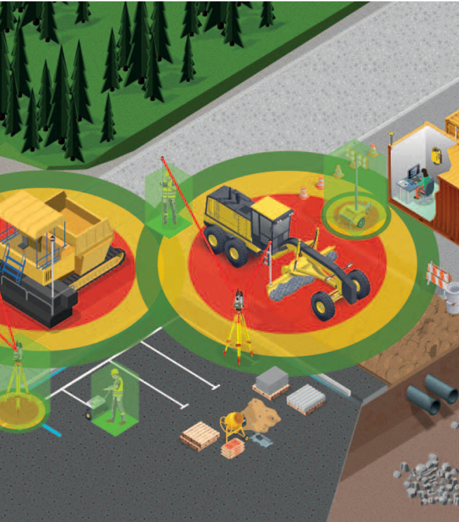
The Leica iCON range is specially designed for the demands of modern construction sites, offering precise and user-friendly solutions.
iCON systems optimize every machine movement, reducing fuel, material, and time consumption.
Operators see real-time position, slope, and elevation, enabling faster and more accurate execution.
On site, this means increased productivity, fewer reworks, and minimized errors. With an intuitive interface and compatibility with GNSS, total stations, and scanning systems, iCON turns your site into a smart, digital, and efficient workspace.
reduces planning
and execution time by
0%
decreases fuel
consumption by
0%
Increases
workflow on site by
0%
Get an offer in 24h
Fill in the form and receive an offer in 24 hours

Leica Geosystems is a Swiss company specialized in producing and selling equipment and solutions for high-precision geospatial and topographic measurements.
Founded in 1921, Leica Geosystems is renowned for its innovations in the field of measurement technology, including GPS (Global Positioning System) and GNSS (Global Navigation Satellite System), laser scanners, total stations and data processing software.
These technologies are meant to monitor and control the movements and functions of heavy machinery during the operations on a construction site. The systems provided by Guide Tech are designed to offer precision, safety and efficiency when operating heavy machinery. Leica machine control systems can be purchased through European funds, leasing, direct payment, auction and other methods.
On what kind of equipment can you install Leica systems?

Grader
Our machine control systems for graders enable efficient cutting and leveling. Because they are easy to use, our systems have a user-friendly interface that generates real-time information on cutting and filling.

Dozer
Our machine control systems for dozers are versatile, easy to use and customizable. To ensure optimum productivity on a construction site, our machine control systems can be combined with a rotating laser, total stations or GNSS technology.

Excavator
With the help of our systems, operators have advanced control over their heavy machinery. Therefore, the machinery’s efficiency is given by the excellent leveling operations which can be made with a robotic total station and GNSS configuration, without the need for a topographer.

Paver and cold planer
You get the desired result with millimeter precision. Our system for asphalt paving machines helps operators eliminate errors and reduce costs for the entire project.
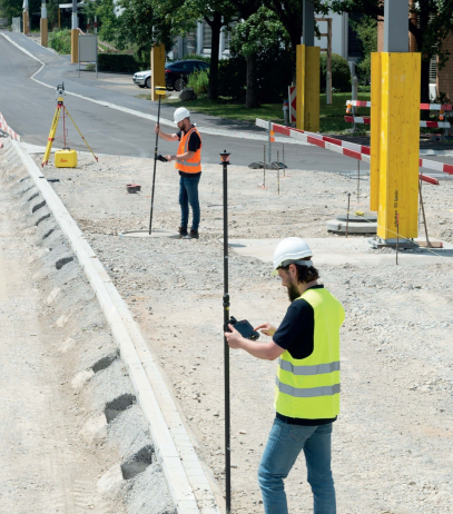
Total stations
Connect the total stations and the rovers through the CC170 controller, using innovative and easy-to-use software, to optimize the workflow on the construction site. To get precise measurements on your site and uninterrupted workflow, choose the iCON smart construction range from Leica Geosystems.
Why Guide Tech?
The products that Guide Tech offers are certified and use Leica Geosystems technology. Through the precision, quality, the services and performances it offers, this technology lies at the top of the industry worldwide, assuring a high degree of customer satisfaction.
The machine guidance and control solutions available through Guide Tech include 2D and 3D control and automated machine control. In addition, Guide Tech provides high-precision construction tools, like rotating lasers, easy-to-use or complex total stations and GPS technology.
All the systems we sell come together with training, installation, start-up and calibration.
See how Leica technology functions:

Get an offer in 24h
Fill in the form and receive an offer in 24 hours

